Washington trails › Leavenworth and the Enchantments
Beehive Trail
Hiking trail · Leavenworth and the Enchantments · Nearest town: Wenatchee, 8.8 mi / 14.1 km away
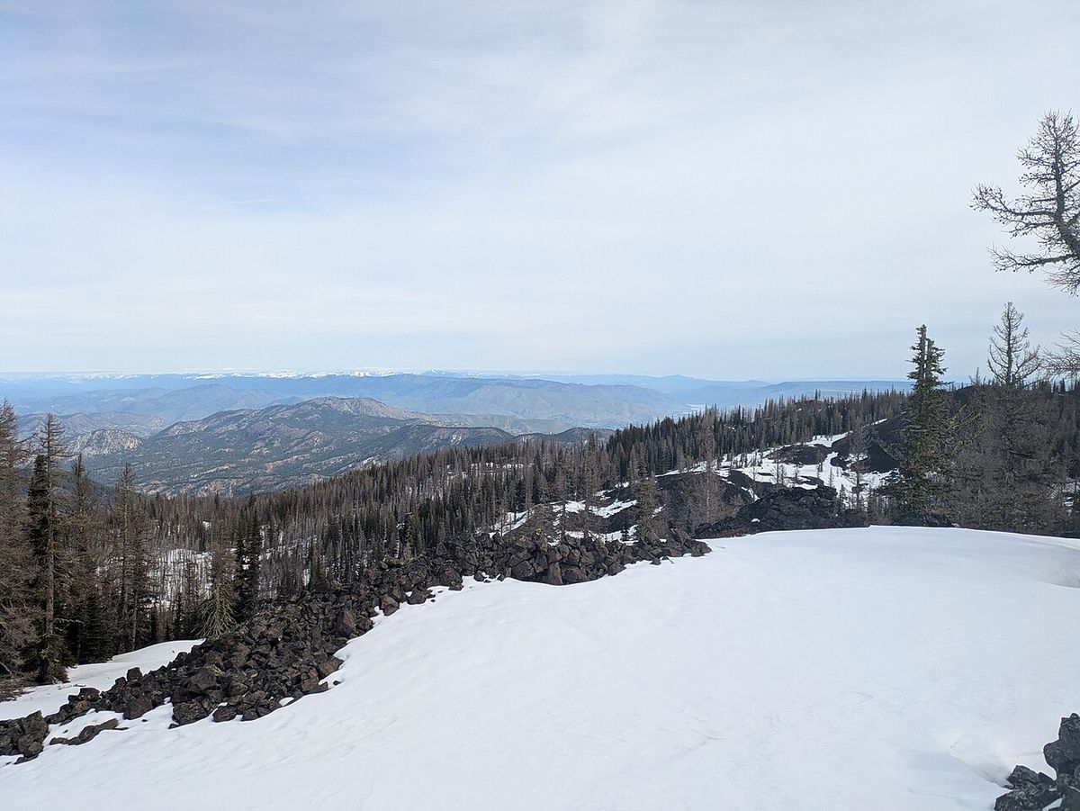
Photo: Buidhe · CC BY-SA 4.0 · Source

3.1 mi5 kmRound trip
≈486 ft≈148 mElevation gain
4,751 ft1,448 mHigh point
1 hr 46 minEstimated time
Easy1.6 mi / 2.5 km one way. Length and elevation gain are calculated from map data, so they're approximate.
Pass: unknown, check before you go
Trailhead: Mission Ridge Trailhead
Off Liberty-Beehive Road, near East Wenatchee, WA
Coordinates: 47.31987, -120.41819
Directions
Overview
Beehive Trail is a round-trip hike of 3.1 mi / 5 km near Wenatchee, WA. Expect about 486 ft / 148 m of elevation gain, with a high point of 4,751 ft / 1,448 m. Difficulty: Easy. At an average pace, plan on about 1 hr 46 min. Upper sections can be snowy from November through May.
Elevation profile
Along the route: low 4,255 ft / 1,297 m · high 4,741 ft / 1,445 m
Nearby
- Devils Gulch TrailHiking trail · 0.3 mi / 0.5 km
- Beehive ReservoirLake · 1 mi / 1.5 km
- Mission Ridge TrailHiking trail · 1.3 mi / 2 km
- Mission Peak TrailHiking trail · 1.3 mi / 2 km
- Beehive MountainPeak · 1.5 mi / 2.4 km
- Pipeline TrailHiking trail · 2 mi / 3.2 km
- Lake Clara TrailHiking trail · 2 mi / 3.2 km
- Mission PeakPeak · 2.7 mi / 4.3 km
Sources
- Route and map: OpenStreetMap contributors (ODbL). Elevation: AWS Terrain Tiles.
- Official trail listing: U.S. Forest Service.