Washington trails › Olympic Peninsula
Hurricane Hill
Mapped as Hurricane Hill Nature Trail
Hiking trail · Olympic Peninsula · Nearest town: Port Angeles, 9.9 mi / 16 km away
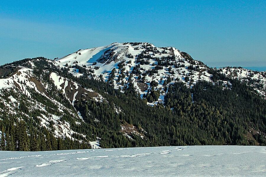
Photo: Dave Sizer · CC BY 2.0
3.2 mi5.1 kmRound trip
650 ft198 mElevation gain
5,758 ft1,755 mHigh point
1 hr 52 minEstimated time
Easy1.6 mi / 2.6 km one way. Length and elevation gain come from the Washington Trails Association (WTA) trail page.
Pass: National park entry
Trailhead: Hurricane Hill Trailhead
Off Hurricane Ridge Road, near Port Angeles, WA
Coordinates: 47.99017, -123.52859
Directions
Overview
Hurricane Hill is a round-trip hike of 3.2 mi / 5.1 km near Port Angeles, WA. Expect 650 ft / 198 m of elevation gain, with a high point of 5,758 ft / 1,755 m. Difficulty: Easy. At an average pace, plan on about 1 hr 52 min. Snow-free June through October. Hurricane Ridge Road has limited winter access.
Elevation profile
Along the route: low 5,095 ft / 1,553 m · high 5,748 ft / 1,752 m
Nearby
- Griff PeakPeak · 1.3 mi / 2.1 km
- Unicorn HornPeak · 1.4 mi / 2.2 km
- Unicorn PeakPeak · 1.5 mi / 2.4 km
- Wolf Creek TrailHiking trail · 1.8 mi / 2.9 km
- Cirque Rim Nature TrailHiking trail · 1.8 mi / 2.9 km
- Hurricane RidgeViewpoint · 2 mi / 3.2 km
- Sunrise ViewpointViewpoint · 2.1 mi / 3.3 km
- Mount AngelesPeak · 2.9 mi / 4.6 km
Sources
- Route and map: OpenStreetMap contributors (ODbL). Elevation: AWS Terrain Tiles.
- Length, elevation gain and high point: Washington Trails Association (WTA).