Washington trails › Central Washington
Umatilla Rock Trail
Hiking trail · Central Washington · Nearest town: Coulee City, 3.8 mi / 6.1 km away
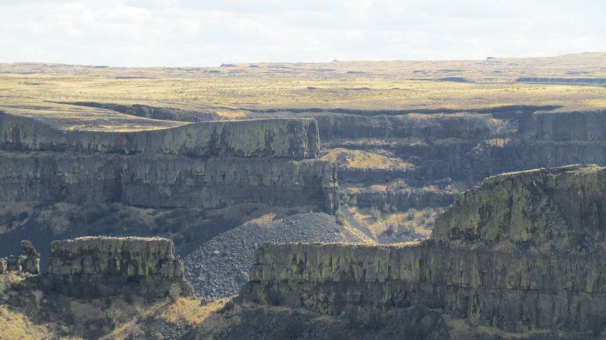
Photo: Chris Light · CC BY-SA 4.0 · Source

2.7 mi4.4 kmLoop
≈184 ft≈56 mElevation gain
1,368 ft417 mHigh point
1 hr 27 minEstimated time
EasyA loop that ends where it starts. Length and elevation gain are calculated from map data, so they're approximate.
Pass: Discover Pass (based on the land the trailhead is on)
Trailhead
Near Coulee City, WA
Coordinates: 47.59093, -119.36754
Directions
Overview
Umatilla Rock Trail is a loop hike of 2.7 mi / 4.4 km near Coulee City, WA. Expect about 184 ft / 56 m of elevation gain, with a high point of 1,368 ft / 417 m. Difficulty: Easy. At an average pace, plan on about 1 hr 27 min. Low-elevation trail, hikeable year-round. Can be muddy after rain.
Elevation profile
Along the route: low 1,214 ft / 370 m · high 1,322 ft / 403 m
Nearby
- Perch LakeLake · 0.3 mi / 0.5 km
- Umatilla RockPeak · 0.5 mi / 0.8 km
- Dry Falls LakeLake · 1 mi / 1.7 km
- Park LakeLake · 1.9 mi / 3.1 km
- Table RockPeak · 2 mi / 3.2 km
- Deep LakeLake · 2.1 mi / 3.4 km
- Coulee LakeLake · 3 mi / 4.8 km
- Lena LakeLake · 3 mi / 4.8 km
Sources
- Route and map: OpenStreetMap contributors (ODbL). Elevation: AWS Terrain Tiles.
- Official trail listing: Washington State Parks.
- Pass: based on the protected area that contains the trailhead.